Translated from the original Traditional Chinese post. Read the Chinese original →
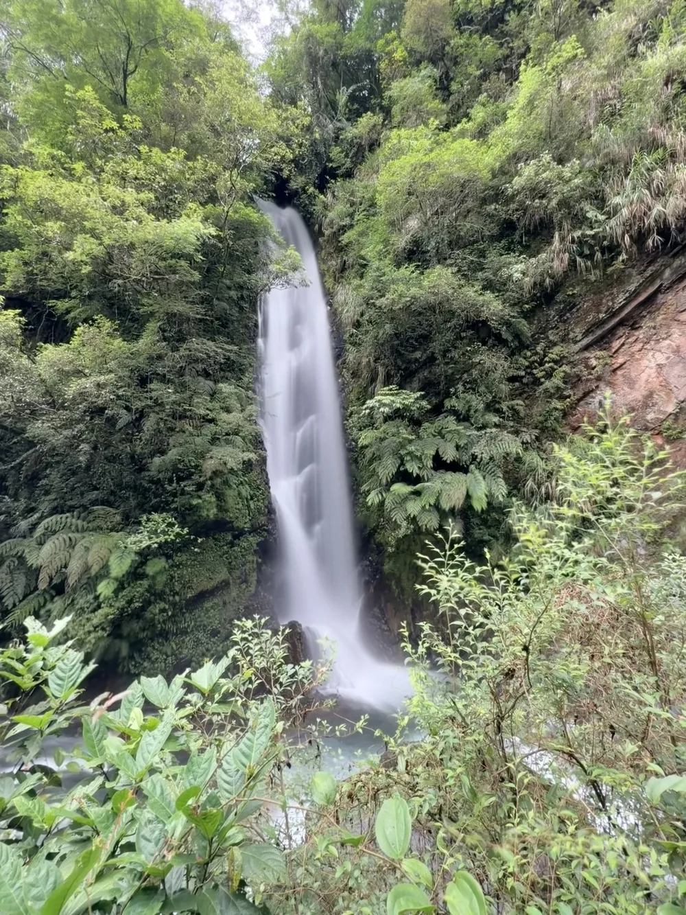
Today I hiked the Jiuliao River Nature Trail in Datong Township, Yilan, following the Jiuliao River all the way to Gaba Waterfall at the end of the trail. The path hugs the stream nearly the whole way, the water is plentiful and clear to the bottom, and along the way there are suspension bridges, old interpretive signs and a story from the Japanese colonial era. It's a really pleasant waterside trail.
When I left, Yilan city was still gray and rainy, and the moment the car entered Datong Township the sky cleared completely. On this side of the mountains, the weather is often a different world from the plain.
Here is today's full route first. Red is the way out, blue is the way back (it's an out-and-back trail, so the two are almost the same line). The numbered markers on the map can be tapped to see the matching photo or video: green for photos, orange for videos.
Starting From the Visitor Center: Datong's Good Weather
We met in front of the visitor center at the Jiuliao River Ecological Park. The weather hit me the moment I got out of the car. It had been raining nearly all over Yilan city, but here it was a big blue sky over a full panorama of mountains.
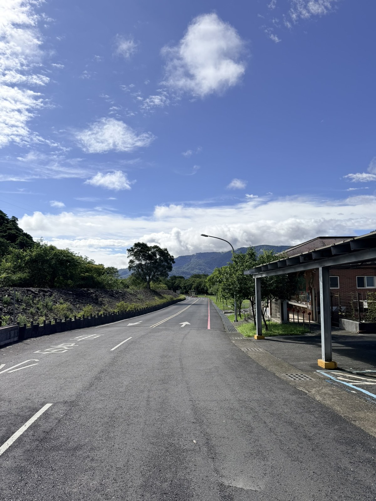
Next to the visitor center, a few shops were getting ready to open. A shop cat was eating from its bowl with its head down, and there was a very friendly dog beside it.
From here, we followed the signs toward the trail.
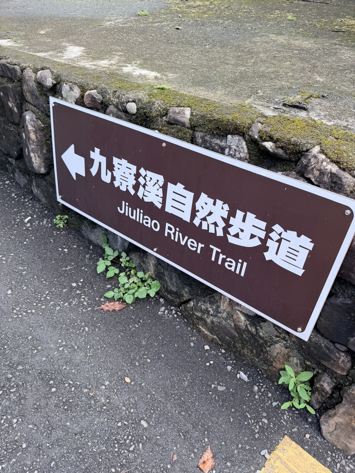
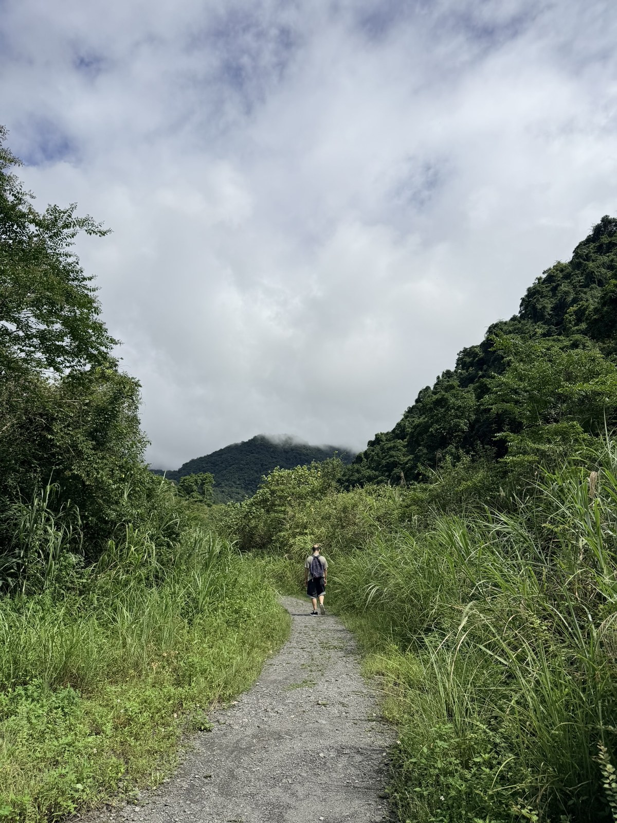
The first stretch goes up along the edge of the Jiuliao River, with the water right at your feet, and the whole way is like this: green and the sound of water.
We also met several cute kittens along this stretch.
The Real Entrance: Remember to Keep Right
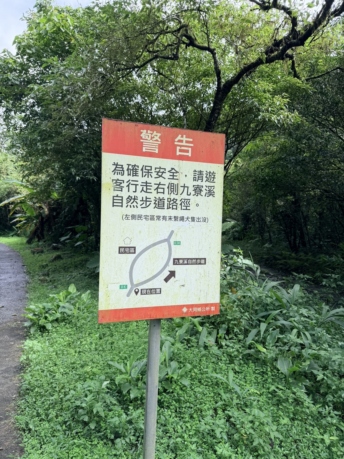
At a fork, you'll see a red warning sign. Take the right side, the Jiuliao River Nature Trail, and not the left. The left side is a residential area where, reportedly, unleashed dogs often roam, which is a safety concern. The little map on the sign makes it clear: turn right for the trail, go straight for the houses.
Past the fork, the road narrows. This is the real entrance to the trail.
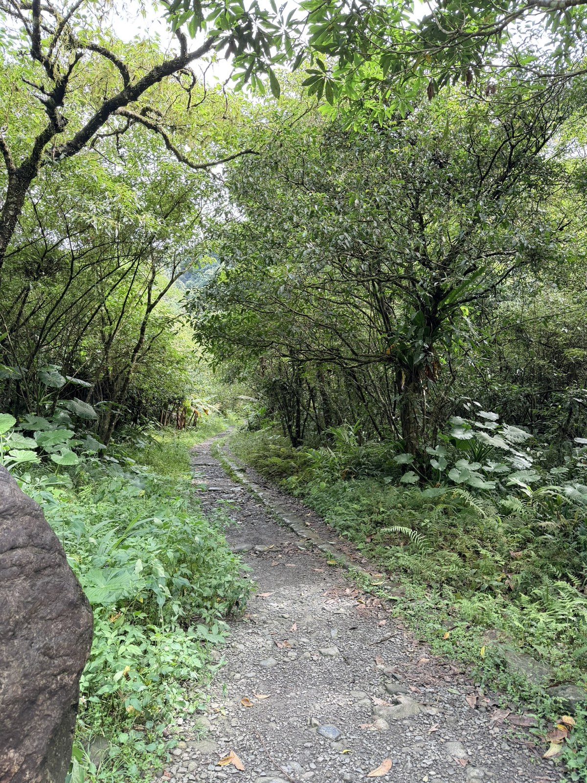
It starts as a stone path, which is easy enough to walk.
As I walked, I noticed that the gravel on the ground was held in a black diamond-shaped grid. My guess was that it was there to keep the gravel in place so it doesn't get washed away on slopes. I looked it up, and the guess was right.
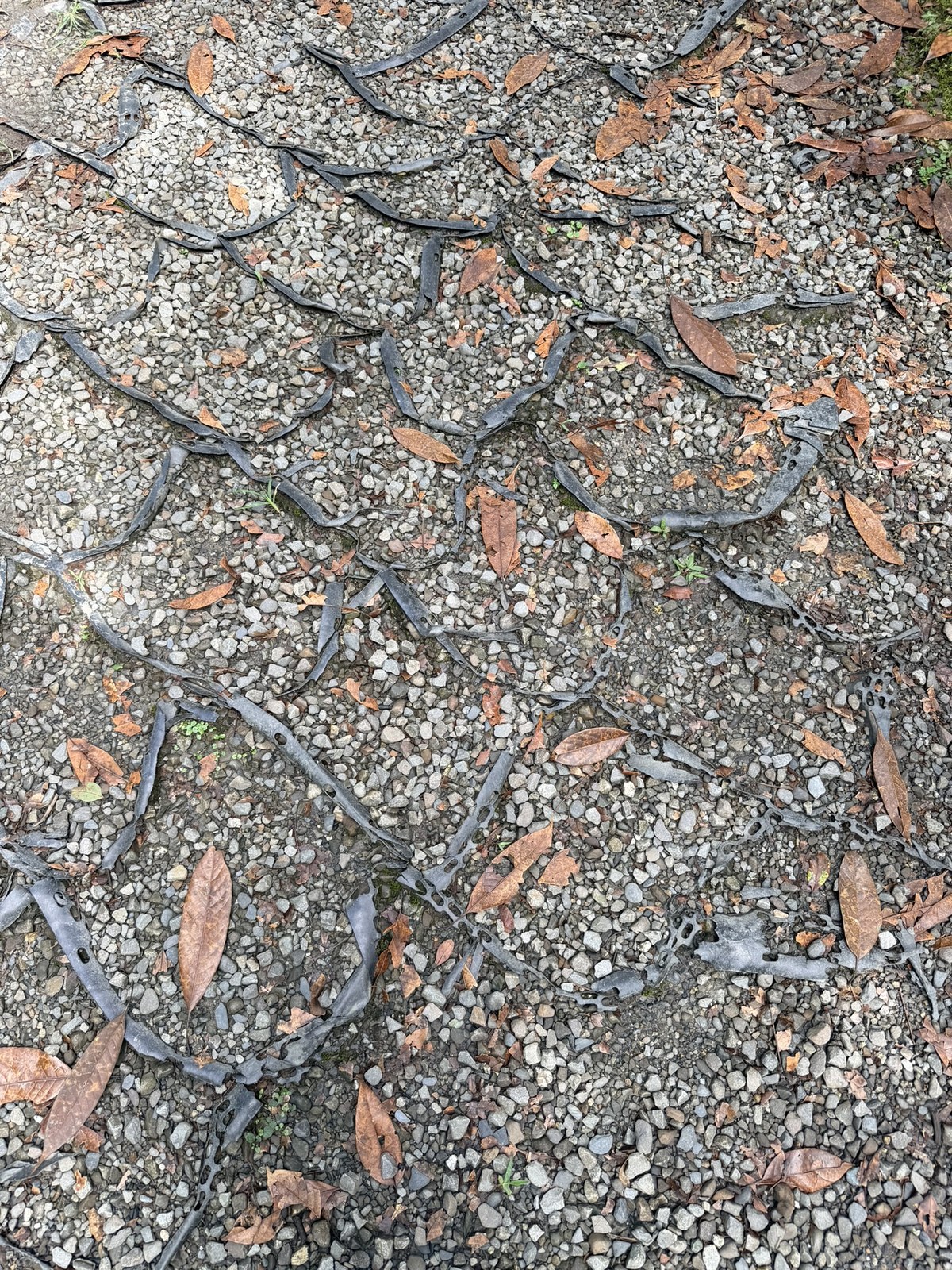
🪨 Fun fact: the diamond grid on the trail is there to lock the gravel in place
That black plastic diamond lattice laid across the path is called a cellular confinement system (commonly called a geocell). It works the way you'd guess: the gravel is divided into individual cells, and when feet tread or rain pours down, the gravel stays confined in its own cell. It doesn't slide downhill and isn't easily carried off by running water. Gaps are left between the cells so they stay permeable, so rainwater drains downward and the path doesn't pool or get gouged into a gully. Spreading out the force of each footstep cell by cell also reduces loss and erosion of the gravel surface, which is especially useful on a stream-valley trail with slopes and frequent rain.
Up Along the Jiuliao River
From here on, nearly the whole route hugs the Jiuliao River, with stream views alongside all the way.
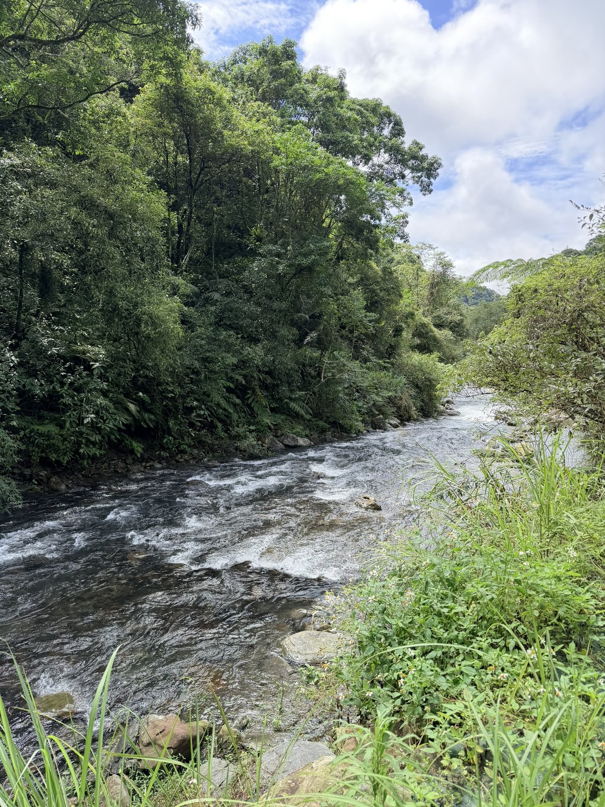
🐟 Fun fact: the stream was closed for 8 years before this trail opened
The Jiuliao River is clear to the bottom because the stream was closed off. Starting in the early 2000s, the whole stream was closed to fishing to protect its fish, with all catching banned, to let a stream emptied out by electrofishing and poisoning recover. Kuhua (Taiwan shoveljaw carp) and xige (a stream minnow) gradually returned, and so did protected butterflies, dragonflies and masked palm civets. Only after 8 years of closure paid off and the ecosystem recovered did the Jiuliao River Nature Trail open to the public, in 2011, so that visitors could walk in and get close to the stream.1
Partway along, a water pipe had burst and the jet was spraying onto the trail. Someone had thoughtfully blocked it off with traffic cones so passersby wouldn't get soaked.
One section of the trail is elevated, curving along the stream and the rock wall, with rushing water right below.
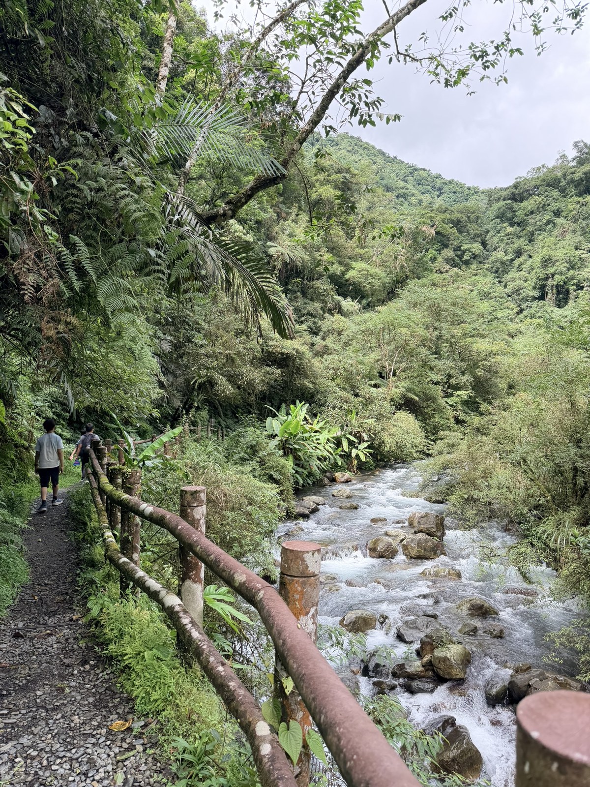
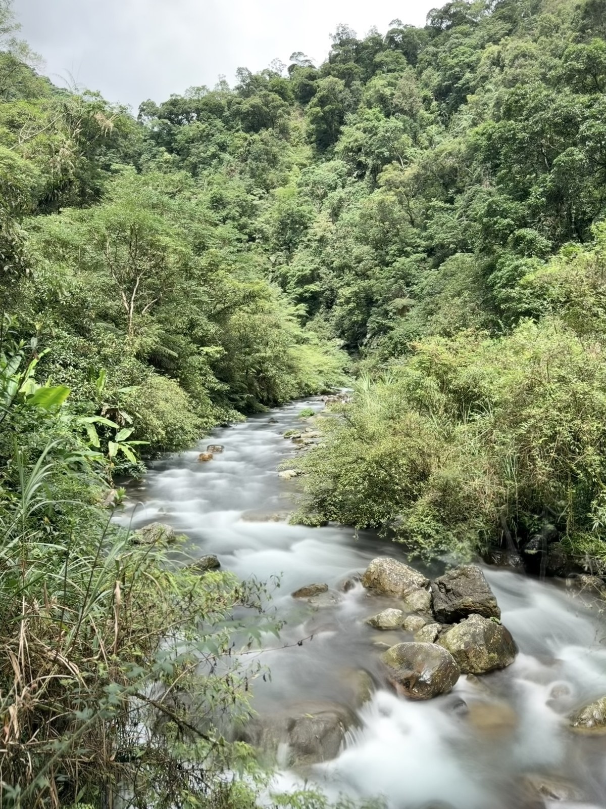
With so much water and so many drops, it was the perfect place to try a long exposure on my iPhone, turning the stream into a silky white ribbon.
The Stories Behind the Place Names: Po-Dang Stream and the Munitions Depot
Along the trail there are several interpretive signs on the stories behind place names, which filled in this stream's background for me.
At the sign titled Historical Munitions Depot, the words munitions depot actually stopped me for a second. What does a waterside trail have to do with ammunition?
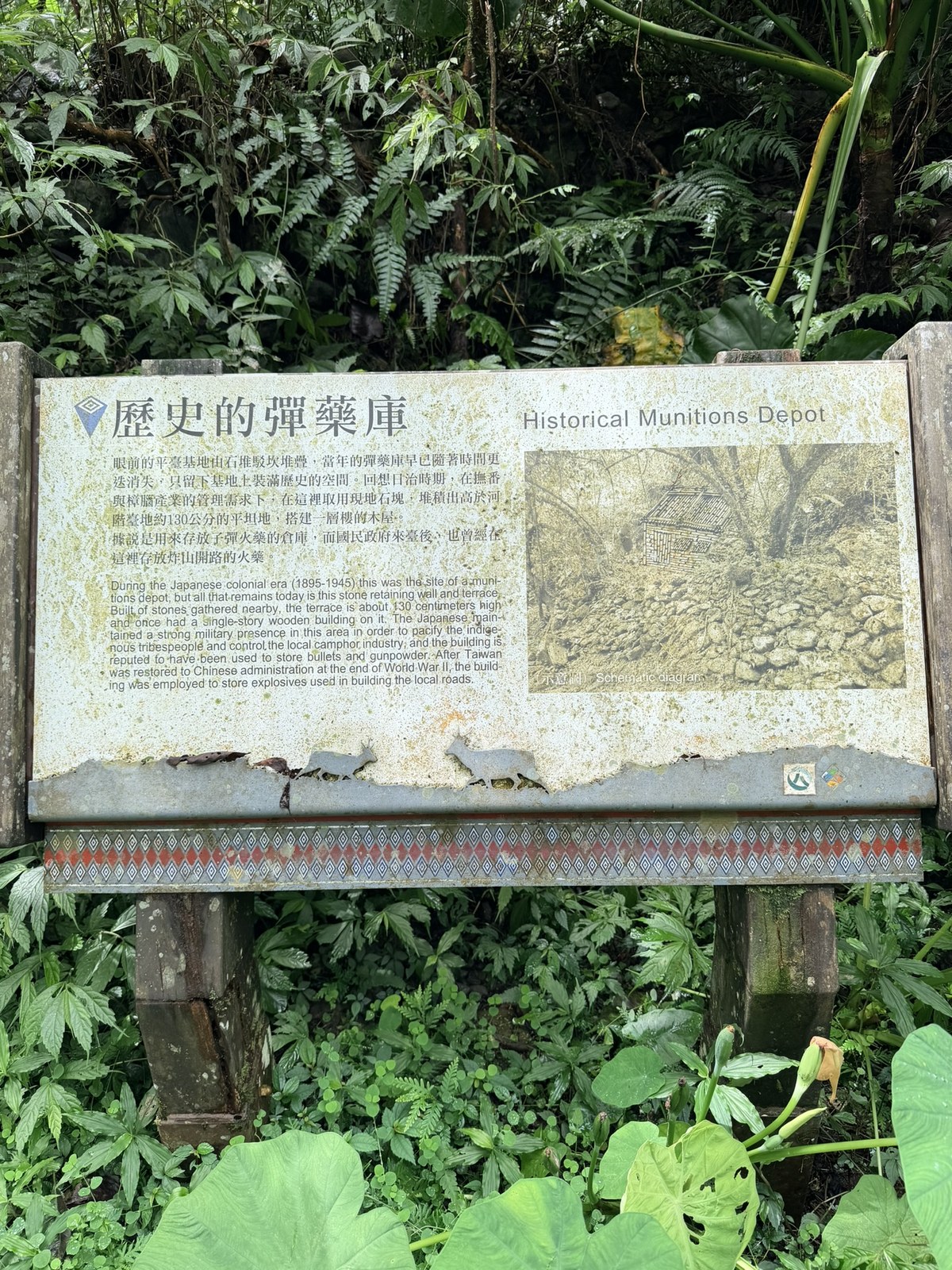
🪖 Fun fact: the Historical Munitions Depot in the stream valley
The sign says that during the Japanese colonial period (1895–1945), to pacify the indigenous tribes and manage the camphor industry, the Japanese took local stones here and piled up a platform about 130 cm above the river terrace, then built a one-story wooden house on it, said to have been a storehouse for bullets and gunpowder. After the Nationalist government came to Taiwan, it also stored gunpowder here for blasting mountain roads. The wooden house has long since vanished, and only the stone retaining wall remains in place.2
Further on is the sign Po-Dang Stream on the Map. It also answers a question that has long puzzled people: you often can't find the name Jiuliao River on a map.
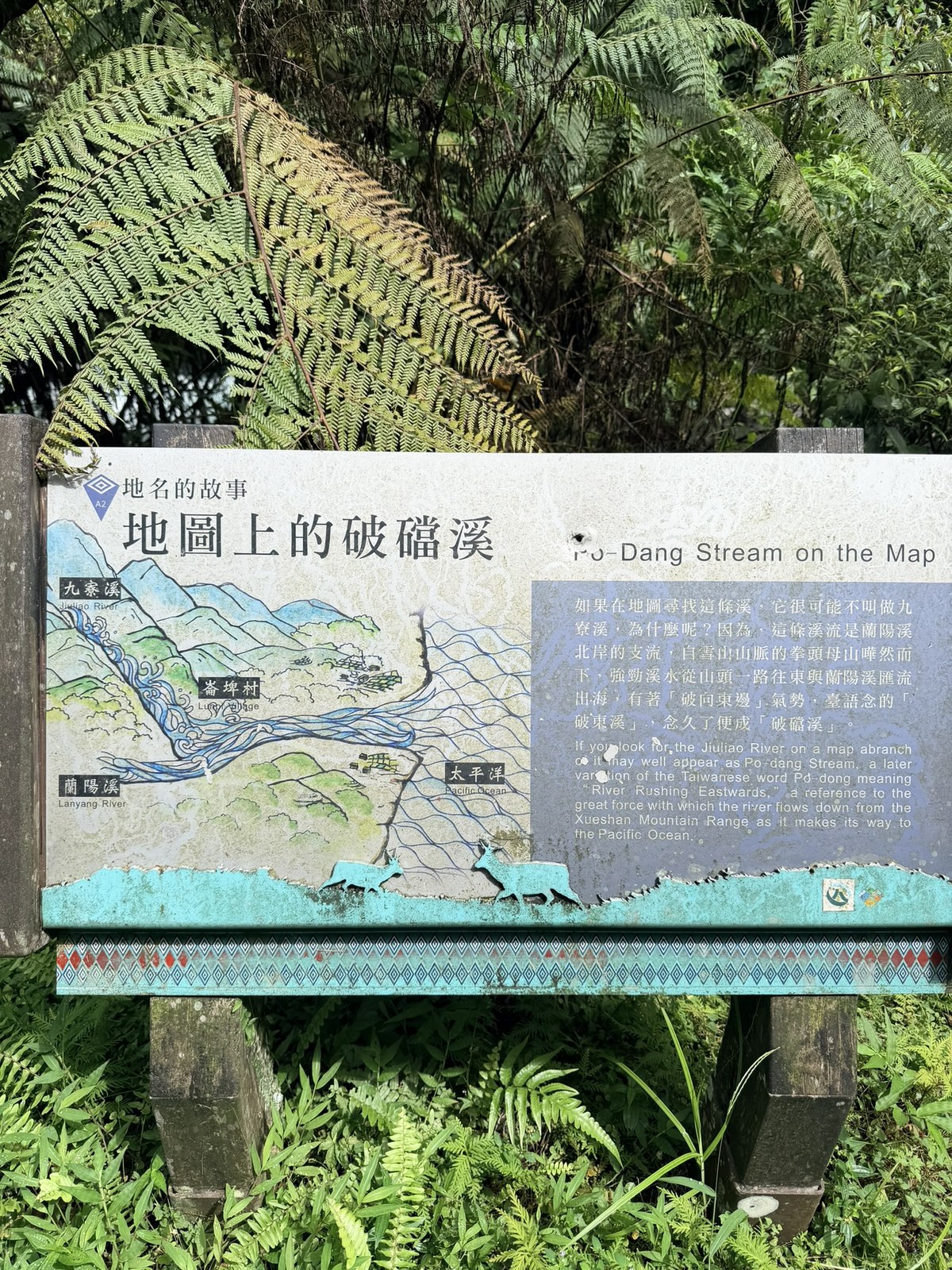
🗺️ Fun fact: why can't you find the Jiuliao River on a map? Because it's called Po-Dang Stream
The sign says that if you look for this stream on a map, you probably won't find the Jiuliao River, because most maps label it Po-Dang Stream. It is a tributary of the Lanyang River, rushing down from Quantoumu Mountain in the Snow Mountain Range. The strong current breaks eastward all the way to meet the Lanyang River and out to the Pacific; the Taiwanese name meaning Break-East Stream, said over and over, wore down into Po-Dang.3
So where does the name Jiuliao River come from? From the Japanese period into the Nationalist period, people felled camphor trees and refined camphor along this stream. At the peak, nine work huts went up along the bank at once, and that is how it came to be called the Jiuliao River (Nine Huts River).3
Because the stream comes from Snow Mountain, with steep slopes and fast water, Yilan really is a county that never lacks water. Look at this volume.
The Last Stretch: Suspension Bridges and Gaba Waterfall
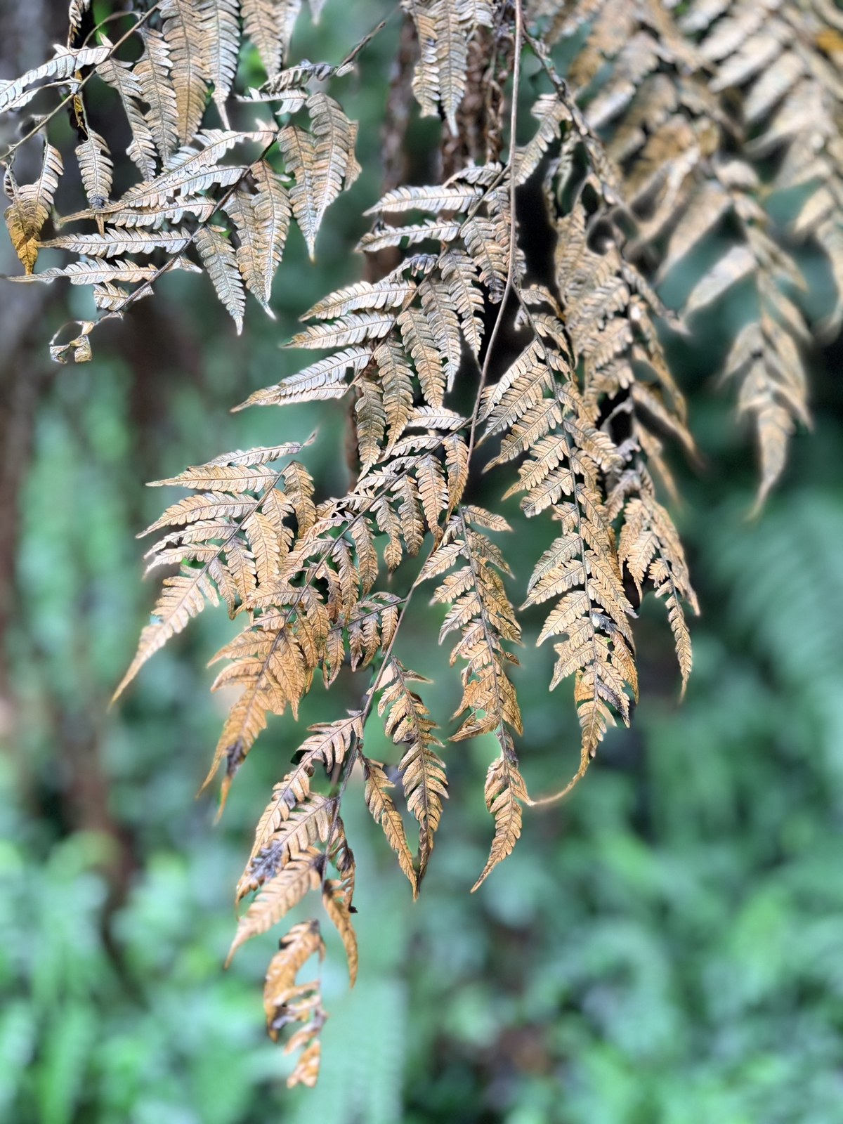
Near the waterfall, a clump of dry ferns by the trail had already turned brown, and I took a bokeh shot of it with the iPhone's F1.4 wide aperture.
Before the waterfall you cross several suspension bridges in a row, and this one is especially pretty.
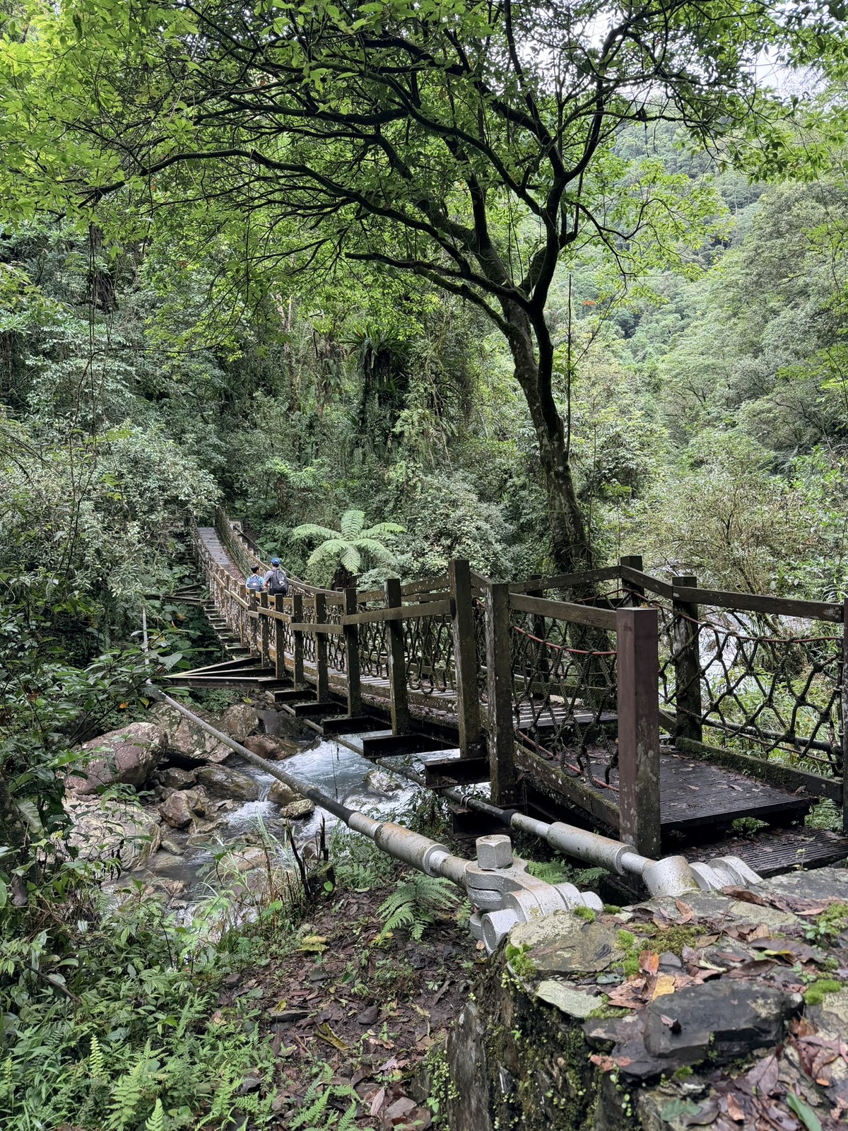
After the bridge, we could hear the sound of water getting louder from far away. We were finally almost there, and the spray at the base of the waterfall was spectacular.
The last bridge is called Linpu Bridge (Waterfall-Facing Bridge), a fitting name, since Gaba Waterfall is right there within reach.
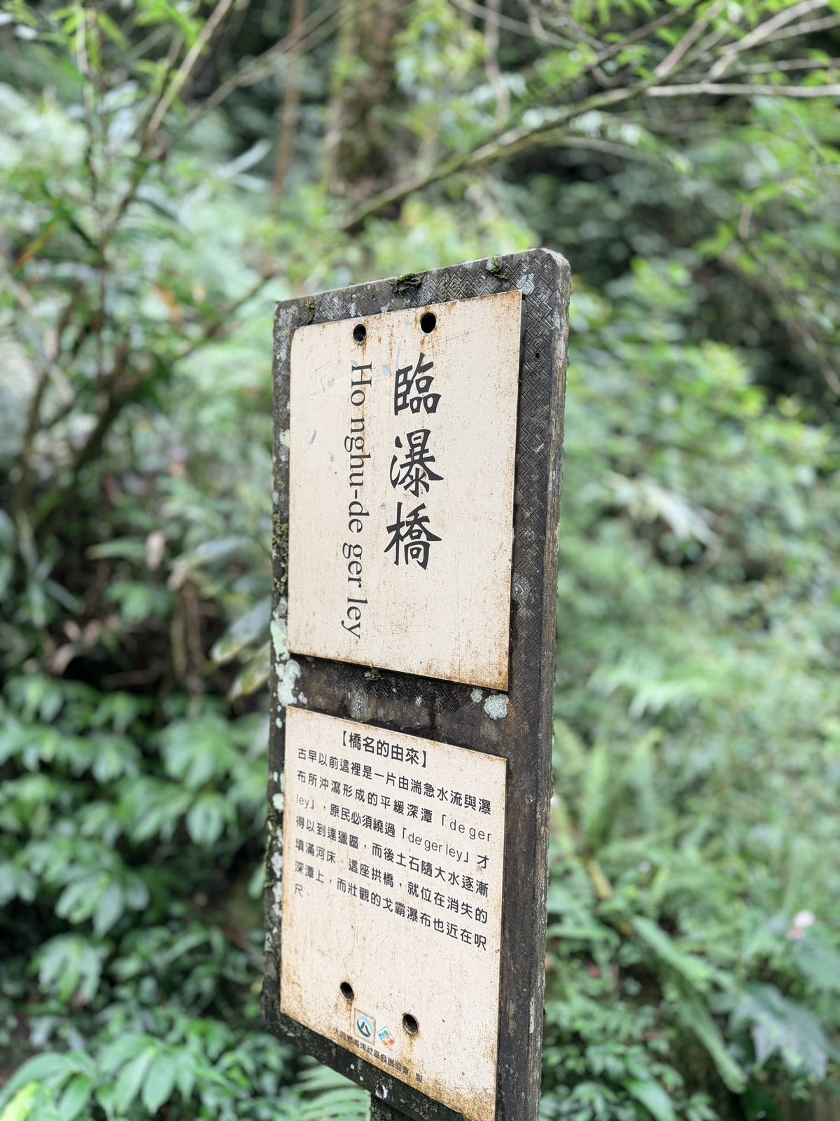
Standing in front of the waterfall, I started soaking up a huge cloud of negative ions.
Again I used the iPhone's long exposure, turning the whole waterfall into a silky white curtain.
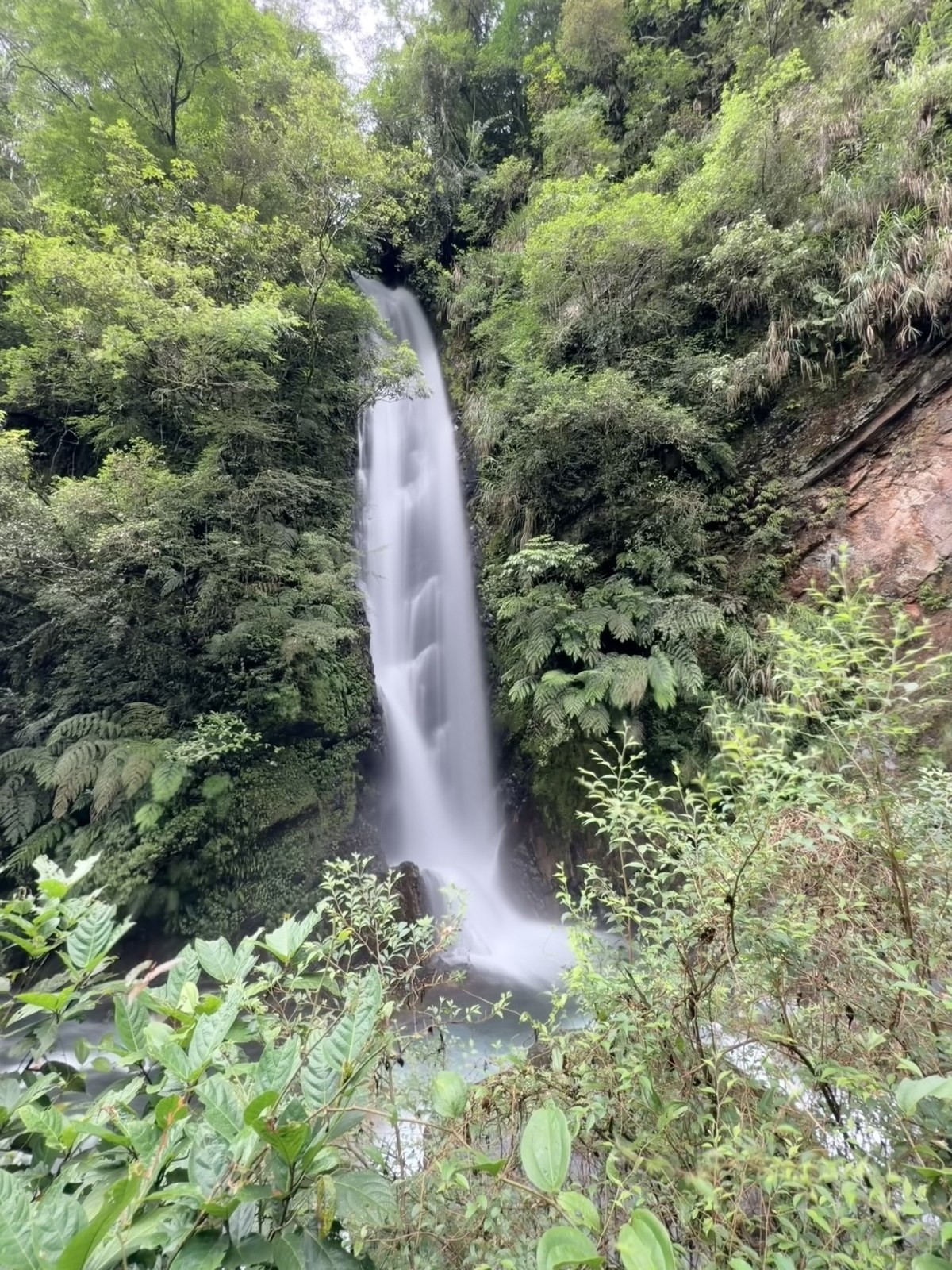
💧 Fun fact: the name Gaba Waterfall is the sound of water hitting rock
Gaba (Ga-ba) is an Atayal word for the sound of a waterfall's water striking the stones, scattering like flowers and shattered jade. The story goes that a hunter chased a sambar deer to the top of the waterfall. The deer leapt and vanished into the mist, and just as he was feeling let down, he heard the clear sound of the stream falling on the rocks, Ga-ba, Ga-ba, and went back to his village carrying the name Gaba.4
The Way Back
We turned around and headed down. On the way back we passed a house, and a small puddle beside it had a huge number of butterflies gathered at it.
The water of the whole Jiuliao River really never gets old.
Today's Numbers
After coming down, I checked my Apple Watch report card:
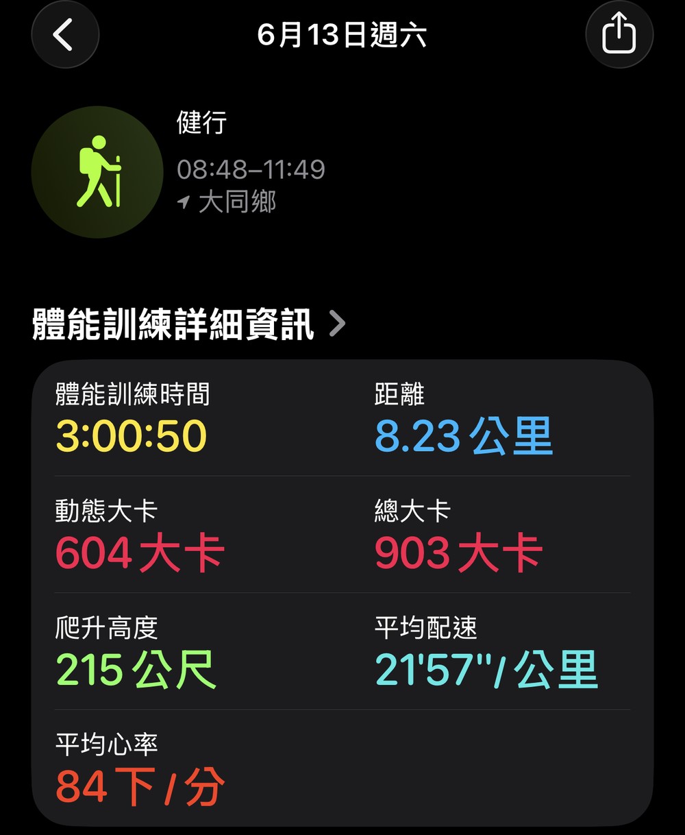
- Hiking distance: 8.23 km (round trip, including the access road from the eco park to the trailhead)
- Workout time: 3 hours 00 minutes (08:48 to 11:49)
- Elevation gain: 215 m
- Average pace: 21'57" / km
- Average heart rate: 84 bpm
- Calories burned: 604 kcal active, 903 kcal total
The trail itself (from the trailhead to Gaba Waterfall) is officially listed at about 3 km one way. It's a gently graded waterside trail that kids can handle too. With the suspension bridges, the stream views and a waterfall hanging on the shoulder of the mountain, it's excellent value for the effort.
One trip up the Jiuliao River took me through clear water and an abundance of it, and into the stream's own backstory: Po-Dang Stream, which breaks eastward from Snow Mountain; nine camphor-refining work huts; a Japanese-era munitions depot; and a waterfall named for the sound of water in the Atayal language. There is always something to learn in the mountains.
Stream closure for fish protection and the opening of the trail: [Merit Times, 8 Years of Stream Closure Restores Life: Jiuliao River Trail Opens, 2011.09.26] (in Chinese), [Taiwan Forest Recreation Network, Jiuliao River Nature Trail] (in Chinese). ↩︎
On-site interpretive sign, Historical Munitions Depot (produced by the Datong Township Office). ↩︎
Origin of the names Po-Dang Stream and Jiuliao River: the on-site sign Po-Dang Stream on the Map, [Forestry and Nature Conservation Agency, Ministry of Agriculture, Jiuliao River Nature Trail] (in Chinese), [Ministry of Agriculture, Leisure Forest Series Report 2: Listening to the Sounds From Snow Mountain] (in Chinese). ↩︎ ↩︎
Naming of Gaba Waterfall (Ga-ba in Atayal, the legend of the hunter chasing the sambar deer): [Taiwan Forest Recreation Network, Jiuliao River Nature Trail] (in Chinese), and the on-site Linpu Bridge sign. ↩︎


Thoughts on this case? Leave a comment, a like, or a reaction below.
comments powered by Disqus