Translated from the original Traditional Chinese post. Read the Chinese original →
This hike up the Paoma Historic Trail in Jiaoxi was our pre-trip training for Jiaming Lake at the end of June: heavy packs on, a full day of climbing, to build up leg strength and teamwork first.
I left before dawn and followed the group up the Paoma Historic Trail. We walked from Jiaoxi Hot Spring Park in town to Jinmian Daguan at the north entrance, then turned around the way we came. The Apple Watch logged a hiking distance of 12.88 km, with 500-plus meters of climbing, in nearly seven hours. Along the way there were century-old trees, a mountain-god Earth God shrine, watermelon by the stream, parents playing Little Bee (a roving support car) and handing out popsicles, and a view of Guishan Island from the top. A solid day with a lot of warmth in it.
Here is today's full route first. Red is the way out, blue is the way back. The town section on the way out was added afterward (the red dashed line) because I hadn't started recording yet. Tap the markers on the map to see the matching photos:
Setting Out From Jiaoxi Town
We met at Jiaoxi Hot Spring Park. Before setting off we formed a circle for a morning huddle and went over the day's route and safety notes.
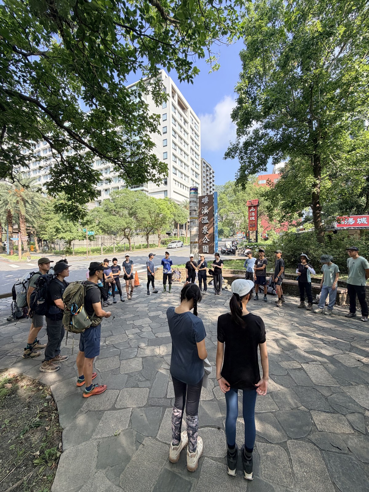
Then we shouldered the heavy packs and walked along the town road toward the mountains.
There is a shortcut from Jiaoxi town onto the Paoma Historic Trail. The key is the fork on Gongyuan Road near No. 96. At the junction stands a blue No Through Road sign, with a convex corner mirror beside it. Don't let the sign fool you: it means the road is a dead end for cars, but people can cut in along the small path beside it and join the Fujin Trail entrance to climb up. It's easy to hesitate or walk past because of the sign, so just look for that blue sign and turn in along the small path next to it.
Climbing All the Way Up
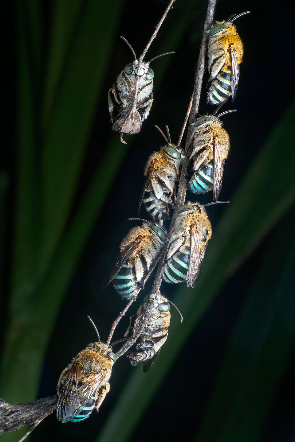
Right after cutting onto the trail, we ran into a wild bee with real character, the blue-banded bee.
🐝 Fun fact: the blue-banded bee that sleeps in a hanging group
What we met by the trail that day was a common wild bee in Taiwan, the blue-banded bee (Amegilla calceifera). Four to five aqua-blue crossbands on the abdomen shimmer like metal, which is where the name comes from. The most unusual thing happens at dusk: male bees with no nest to go back to gather together and clamp onto a dry twig or grass stem with their mandibles for the night, hanging in a whole string. Their mandibles work like small pincers that lock themselves, so once they bite down it takes almost no effort, and they dangle there asleep until morning. Rivals who were fighting over territory in the daytime end up sleeping on the same branch at night.1
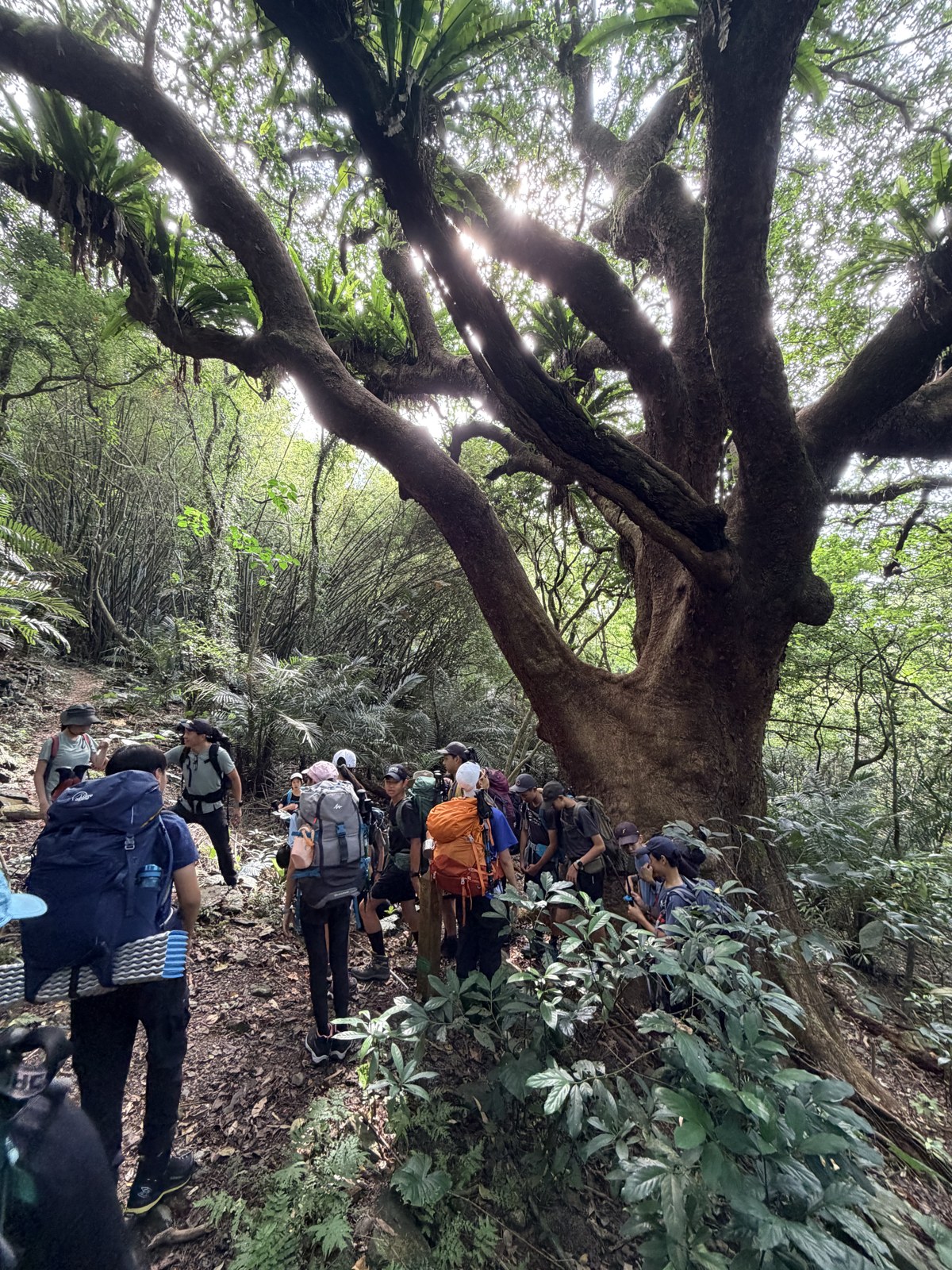
Not far on, we came across a rare, century-old bishopwood tree, its gnarled roots holding up a broad canopy of shade, and everyone stopped to look up.
Past the shortcut, we joined the south entrance of the Paoma Historic Trail. At the entrance there is a trail map and a rusted-iron sign with a lot of character. The map says the trail is about 5 km long and takes about 3 hours round trip, but that is the historic trail itself; today we also walked the extra shortcut section out of town and back.
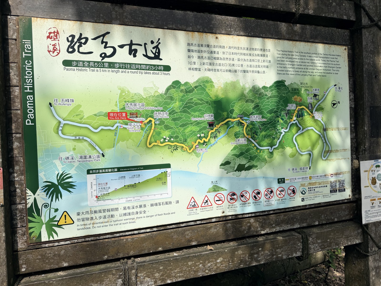
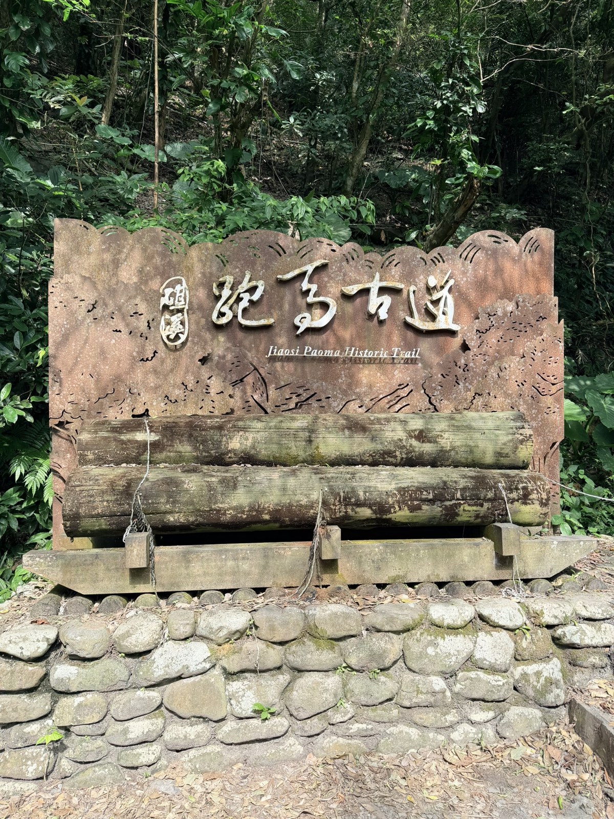
From here, the real climb began.
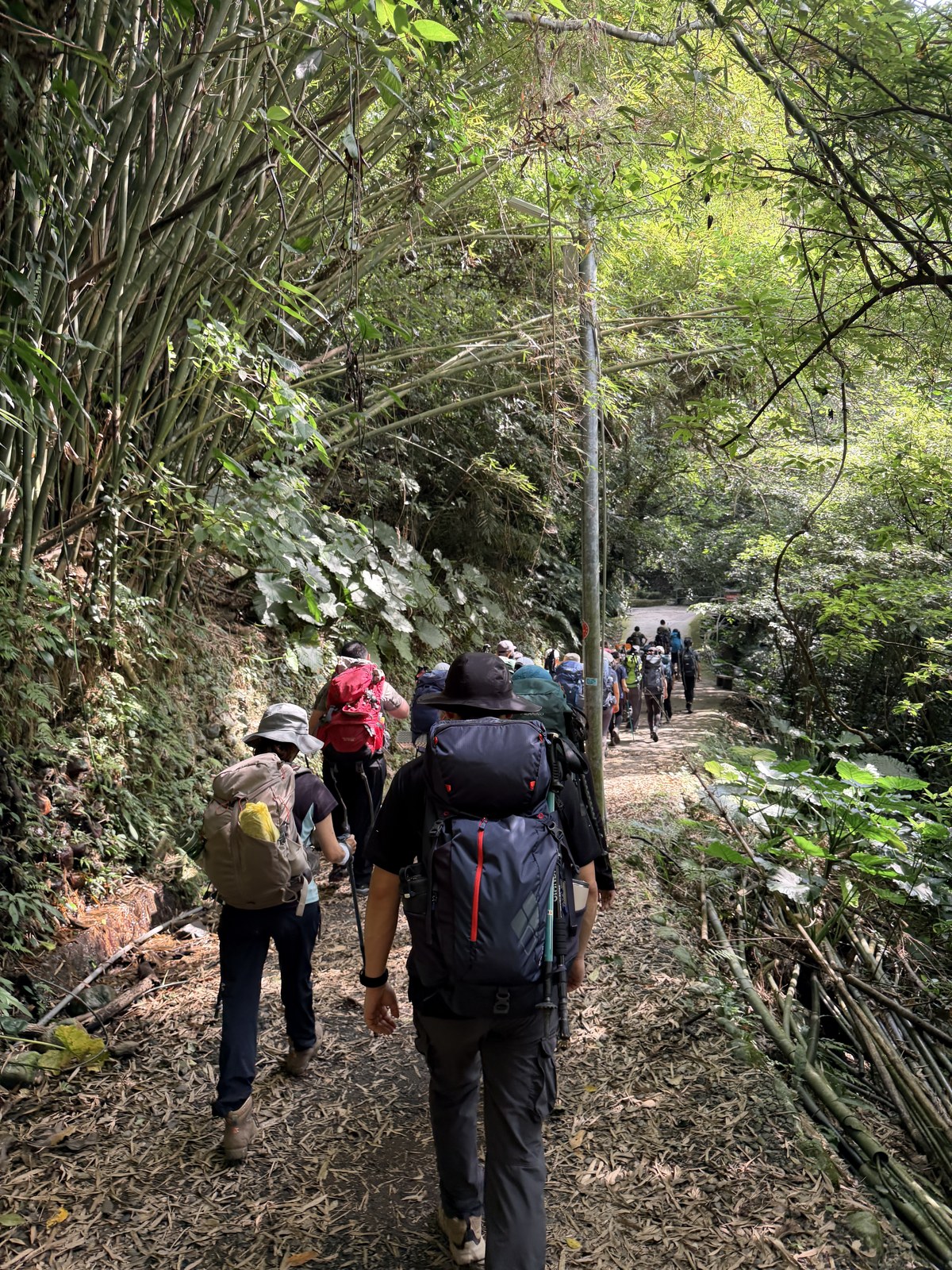
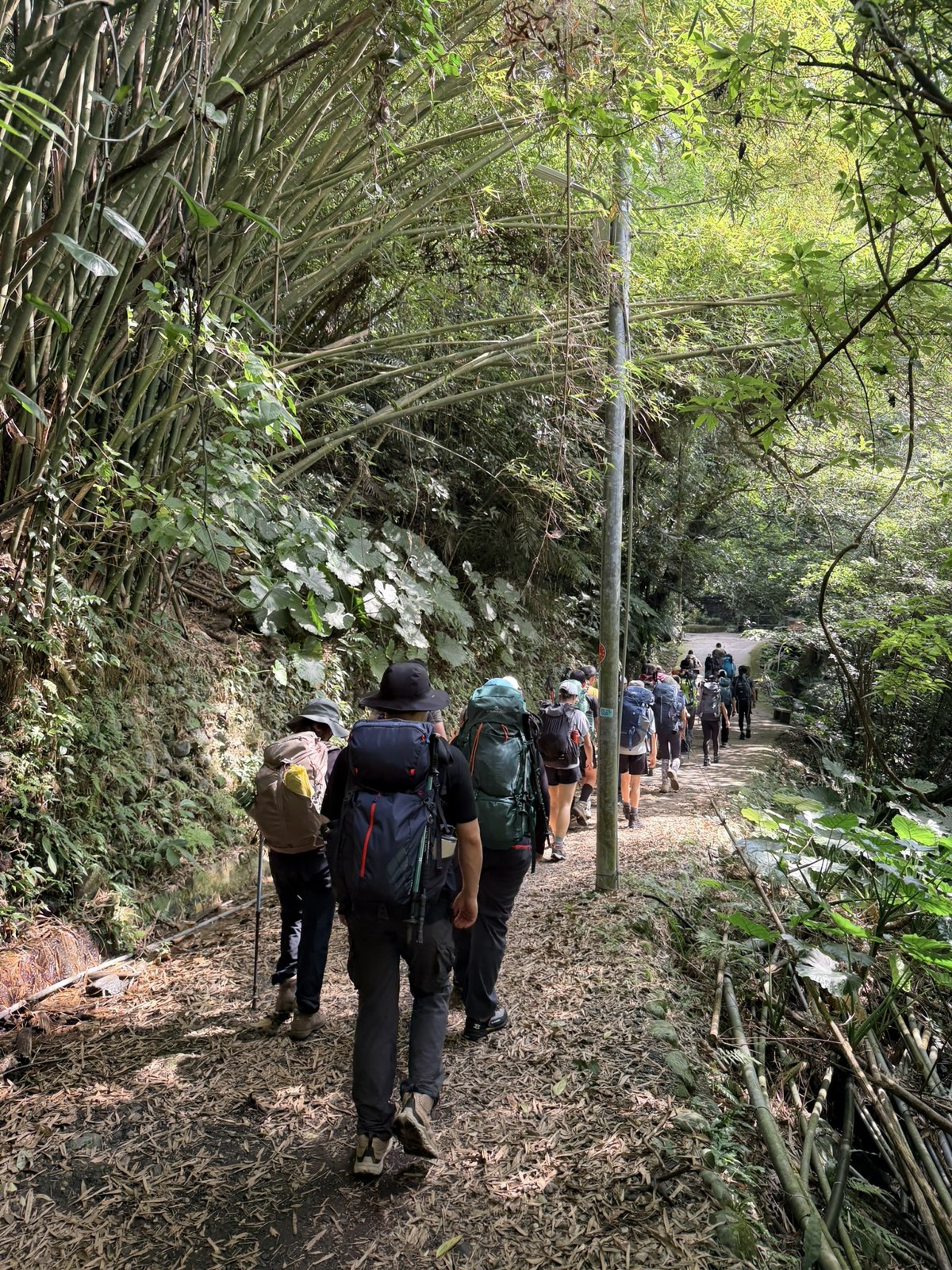
We passed a small bridge and also looked back down at Jiaoxi: the plain, the town and the sea laid out to the horizon, a really beautiful angle.
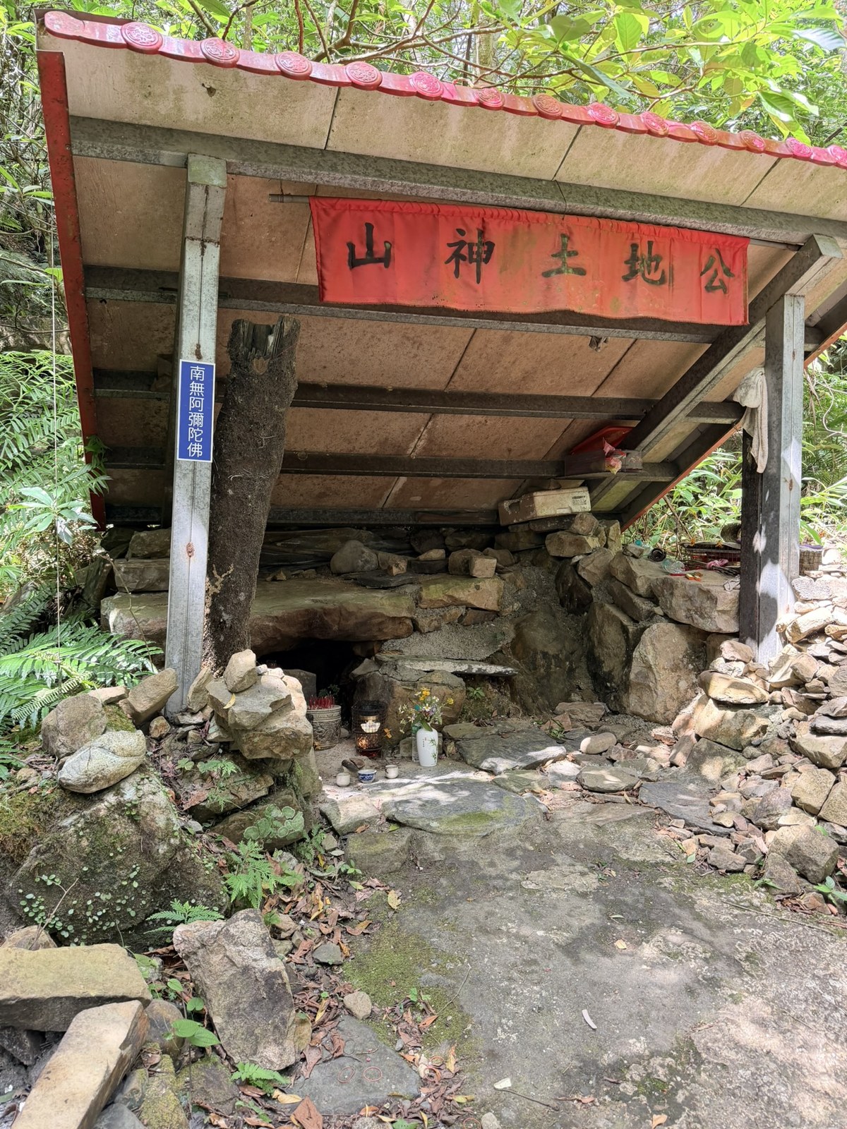
We passed a mountain-god Earth God shrine and stopped right away to bow and pay our respects, asking for a safe trip.
At a small stream where we rested, two parent teammates had each carried a watermelon up the mountain, and cut one open on the spot to share. A cold slice of watermelon halfway up was incredible.
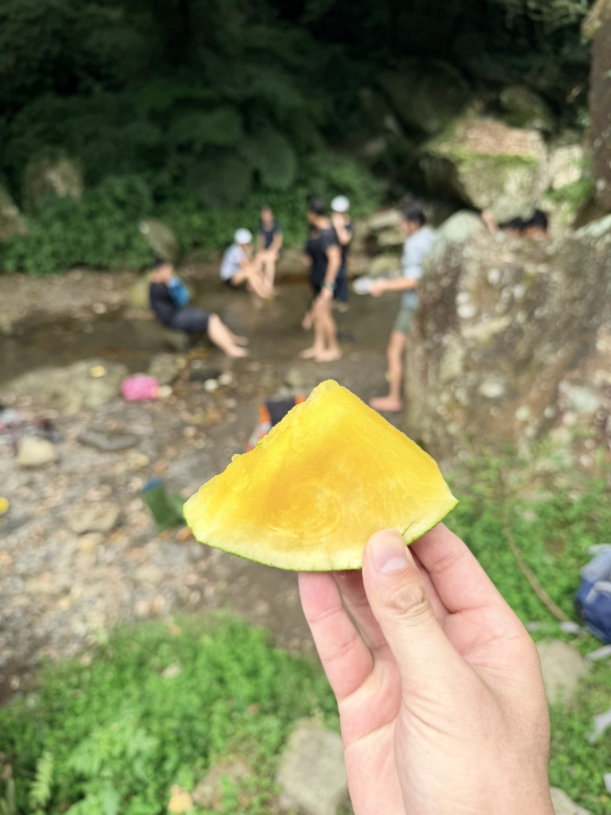
Even more outrageous, one great parent stepped in midway as the Little Bee support-car captain and handed out popsicles the whole way. Eating a popsicle on a mountain: the logistics were that strong.
At the Top: Jinmian Daguan
We reached the Jinmian Daguan level, the high point of the north entrance, where a pavilion let us sit down for lunch and catch our breath.
There is a stone marker for the Paoma Historic Trail here, with an eye-catching little red horse standing beside it. I took it for just a cute photo-op installation, but looking it up, it turns out to have quite a pedigree.
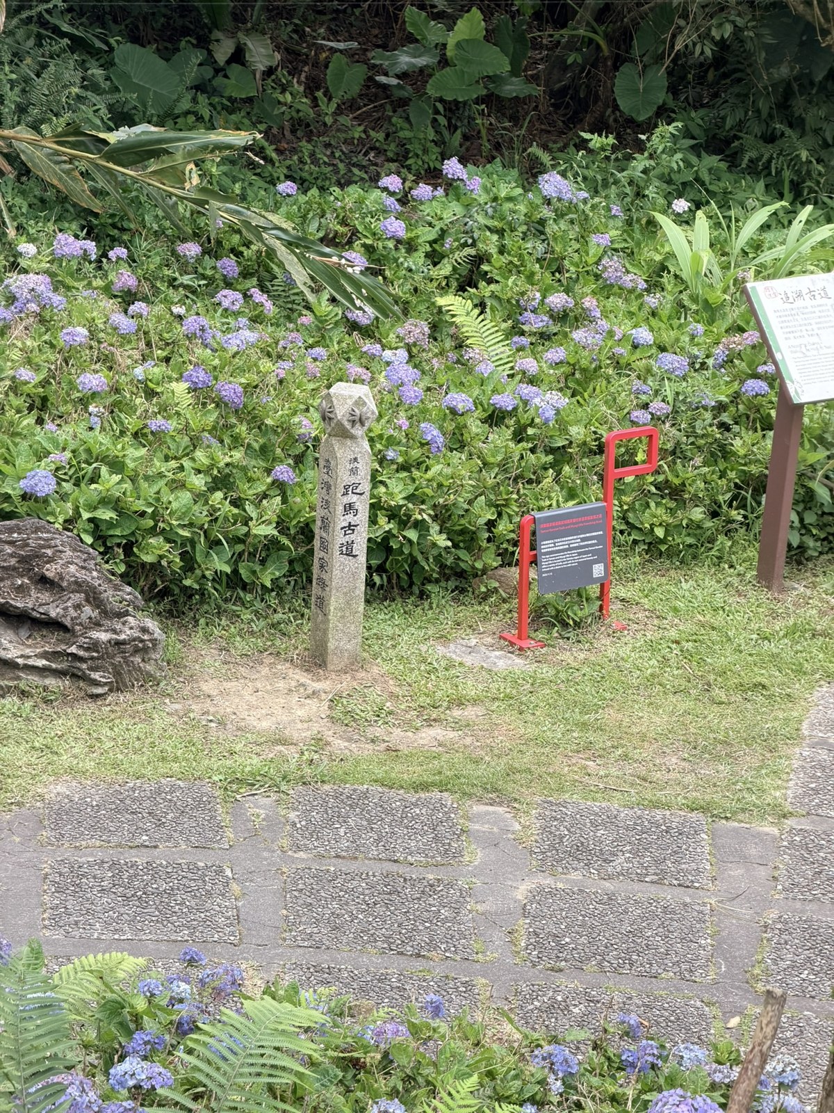
🐴 Fun fact: the little red horse is the emblem of the Olle friendship trails linking Korea, Japan and Taiwan
That eye-catching little red horse on the trail is more than a photo-op. It is the marker of the Olle friendship trails. The Olle trails originated on Jeju Island in Korea, and the red horse is modeled on Jeju's native wild pony. Miyagi in Japan learned from Jeju Olle and built Miyagi Olle, and in 2023 it signed an international friendship-trail pairing with Taiwan's Tamsui-Kavalan Trails, putting the red-horse marker on Taiwanese mountain trails. Four historic trails in Taiwan are in the program, and the Paoma Historic Trail is one of them, paired with Miyagi's Osaki/Naruko Onsen Trail. A century-old pack-horse trail now carries one more layer, a trail friendship spanning Korea, Japan and Taiwan: the red horse walked all the way from Jeju's grasslands to the mountains of Jiaoxi.2
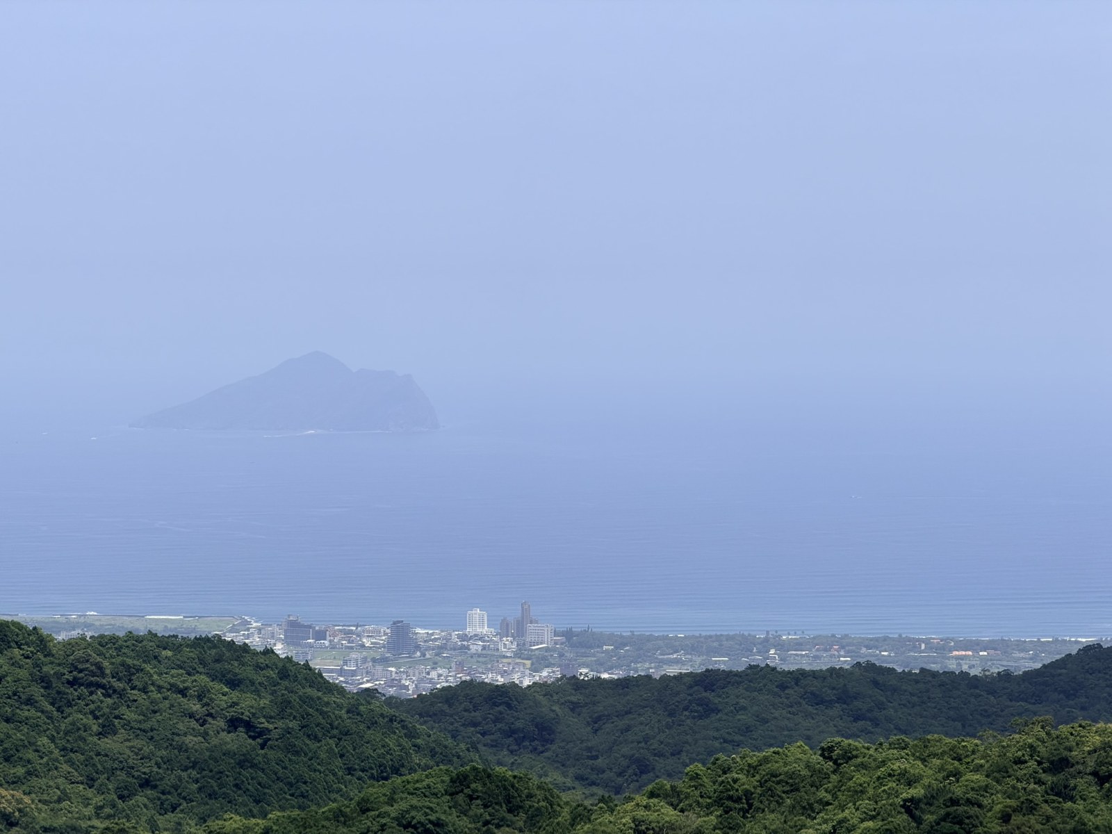
The pavilion at the very top has a wider view, looking down over the whole Lanyang Plain.
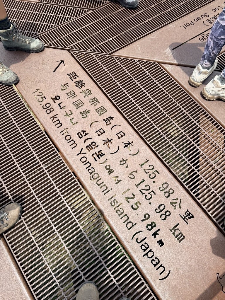
On a clear day you can see Guishan Island from here, floating quietly on the sea. There is also an interesting marker on the pavilion floor, reading 125.98 km to Yonaguni Island (Japan). Yonaguni is Japan's westernmost island and the inhabited island closest to Taiwan; on a clear day you can even see Taiwan from it, so this distance marker echoes how close Taiwan and Japan are, one sea apart.
A Surprise on the Way Back
On the way back, our leader Allen stopped at a wall by the trail and pointed out a clump of fern that looked like a broken umbrella, and gave us a lesson.
🌿 Fun fact: a living fossil from the age of the dinosaurs, the double-fan fern
The fern on the wall that looked like a broken umbrella is probably double-fan fern (Dipteris conjugata). Its round leaf splits in the middle into two fan-shaped halves, left and right, which is what Allen meant by it forming two leaves, and locals simply call it the double-leaf fern. It is an ancient relict: the family Dipteridaceae was spread across the earth well before the Jurassic, over 200 million years ago, and today its range has shrunk to a line along the coasts of Asia. In Taiwan it mostly grows on sunny low-elevation slopes and is not common, no wonder Allen stopped to introduce it. It still keeps the primitive look of the ancient ferns, with its forked splitting, and is regarded as a living fossil from the age of the dinosaurs.3
Today's Numbers
After coming down, I checked the Apple Watch for today's report card:

- Hiking distance: 12.88 km
- All-day walking: 15.46 km, 23,973 steps
- Active calories: 1,621 kcal
- Exercise time: 252 minutes
Some Takeaways From Training
The most useful thing about this kind of training is feeling how your gear and body interact every time you stop to rest. For example, if your left shoulder is sorer than your right, or the other way around, ask yourself whether the pack strap on that side should be looser or tighter. Fine-tuning these during training and finding the fit that suits you will save a lot of effort on the real Jiaming Lake trip.
Another discovery was that going up and coming down show you completely different scenery. Take 空ㄟ Farm: I've always thought it was a cool place with beautiful views, and it turns out you pass it on the way up, but I didn't notice it at all going up and only saw it coming down. So a reminder to myself: on both the way up and the way down, look around properly instead of just keeping your head down and rushing. Of course, while enjoying the view, watch your footing and stay safe.
One trip up the Paoma Historic Trail took me into the history of a century-old trail, and into the mountain's ecology and its warmth: old trees, an Earth God shrine, watermelon and popsicles, a red horse that walked all the way from Jeju, and a fern from the age of the dinosaurs. There is always something to learn in the mountains.
Group-sleeping behavior of the blue-banded bee (Amegilla calceifera): Taiwan Encyclopedia of Life, [Environmental Information Center, Huddled Together, Biting Twigs to Sleep] (in Chinese), [National Museum of Natural Science, Blue-Banded Bees: Together in Slumber] (in Chinese). ↩︎
The little red horse and the Olle friendship trails: [Central News Agency, Miyagi Olle Trail Red Horse Marker Unveiled, 2024-05-17] (in Chinese), [Taiwan NGO, Tamsui-Kavalan Historic Trails and Japan's Miyagi Olle] (in Chinese). ↩︎
Dipteris conjugata: Wikipedia; [Dipteris conjugata in the Age of the Dinosaurs] (in Chinese: 恐龍時代的雙扇蕨) by Liu Ka-shiang (明周文化); the Yilan Forest District Office's ecology introduction to the Paoma Historic Trail; Taiwan Encyclopedia of Life (TaiEOL). ↩︎

Thoughts on this case? Leave a comment, a like, or a reaction below.
comments powered by Disqus